A quiet but powerful upgrade has just happened in Earth observation. NASA’s PACE satellite can now detect nitrogen dioxide (NO₂) at a much finer spatial scale, to the point where scientists can trace emissions back to specific factories and highway corridors .
That shifts air-quality science from broad regional estimates to actionable, source-level intelligence .
What PACE Is Designed to Do
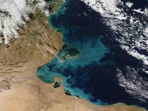
PACE (Plankton, Aerosol, Cloud, Ocean Ecosystem) is not a single-purpose pollution satellite. It is a multi-domain observatory that connects oceans and atmosphere in one system.
-
Launched: February 2024
-
Orbit: Sun-synchronous (passes over the same place at the same local time daily)
-
Coverage: Global, every 1–2 days
-
Core idea: Understand how ocean biology, aerosols, and clouds interact
This matters because climate systems are not isolated. What happens in the ocean affects the air, and vice versa.
The Technology That Makes This Possible
1. Ocean Color Instrument (OCI)
OCI is the backbone of PACE.
-
Measures light across a continuous spectrum (ultraviolet → shortwave infrared)
-
Unlike older sensors, it uses hyperspectral imaging
-
Detects subtle differences in ocean color
Why this matters:
2. Polarimeters: SPEXone and HARP2
These instruments analyse how sunlight is polarised after interacting with particles.
What they unlock:
-
Accurate data on aerosol type, size, and distribution
-
Better understanding of cloud formation and radiative balance
The Breakthrough: High-Resolution NO₂ Detection
Traditionally, satellites could detect pollution, but with limitations:
Month: Current Affairs - April 12, 2026
Category: Nitrogen dioxide (NO₂)