More useful for trends than enforcement
PACE changes that by enabling :
Why Nitrogen Dioxide Matters
In simple terms, PACE moves us closer to “satellite-based pollution auditing.”
Real-World Impact
1. Smarter Environmental Policy
Governments can:
-
Pinpoint exact pollution hotspots
-
Design targeted regulations , not blanket policies
-
Monitor compliance more objectively
2. Urban Planning Insights
3. Climate Research Integration
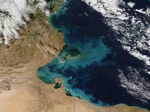
Ocean–Atmosphere Link: The Bigger Story
PACE’s real strength is not just pollution tracking. It’s integration.
It helps answer questions like:
-
How do aerosols affect cloud formation ?
-
How do oceans absorb and redistribute carbon ?
-
How do phytoplankton blooms influence climate feedback loops ?
This is critical because:
👉 Climate change is driven by interconnected systems , not isolated variables.
Why This Is a Step Change
Previous satellites gave:
Month: Current Affairs - April 12, 2026
Category: Nitrogen dioxide (NO₂)