Radar Data Suggests Mars Once Had Oceans and Shorelines
New radar observations from the Zhurong rover indicate that Mars may once have hosted beaches similar to those found on Earth. Scientists have long suspected that the Red Planet once possessed large bodies of water, but direct geological evidence has remained limited. A recent study published in the Proceedings of the National Academy of Sciences presents stronger evidence based on subsurface radar data that reveals buried structures resembling coastal deposits.
Radar Evidence from the Martian Surface
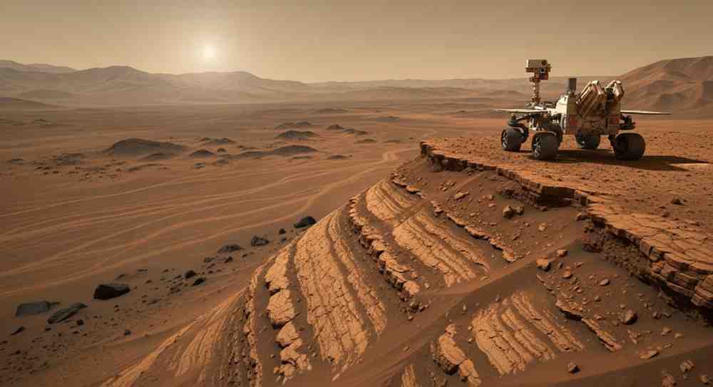
The discovery comes from China’s Tianwen-1 mission, which successfully landed the Zhurong rover on Mars in 2021. The rover operates in Utopia Planitia, a vast region located in the planet’s northern lowlands.
Using ground-penetrating radar, the rover scanned underground layers beneath the Martian surface. The data revealed sloping sedimentary formations several metres below ground. These patterns closely resemble beach ridges and shoreline deposits that form along coastlines on Earth due to wave action. Because the formations remain buried, they have been protected from billions of years of erosion.
Evidence of an Ancient Martian Ocean
Planetary scientists believe that Utopia Planitia may once have contained a large body of water known as the Deuteronilus Ocean. Geological evidence suggests that during the Late Hesperian period—around 3.5 to 4 billion years ago—the northern plains of Mars could have been covered by extensive oceans.
The radar scans revealed repeating layers known as dipping reflectors. On Earth, such structures commonly form when waves transport sediments along a shoreline. Researchers noted that wind-driven sand dunes would produce different subsurface patterns, strengthening the conclusion that the formations were shaped by liquid water.
Ground-Penetrating Radar Technology
Ground-penetrating radar works by sending radio waves into the ground and analysing the signals reflected back from different layers. Variations in the reflected signals allow scientists to identify materials such as rock, sediment or ice.
The radar instrument on Zhurong can detect structures up to roughly 80 metres beneath the Martian surface. The layers identified in the study display consistent angles and spacing typical of coastal sediment accumulation.
Important Facts for Exams
-
Zhurong rover is part of China’s Tianwen-1 Mars mission launched in 2020.
-
Utopia Planitia is the largest known impact basin on Mars.
-
The Late Hesperian period occurred about 3.5–4 billion years ago.
-
Ground-penetrating radar is widely used in planetary geology.
Implications for Mars’ Ancient Climate
The discovery suggests that Mars once possessed stable bodies of liquid water and a warmer climate than it has today. Oceans would have required a thicker atmosphere capable of maintaining sufficient pressure for liquid water to exist.
Scientists believe that if waves were powerful enough to shape beaches, the ocean likely persisted for long periods rather than appearing briefly during isolated melting events. Such long-lasting aquatic environments are considered promising locations for past habitability, increasing interest in future exploration of Mars’ ancient shorelines.
Month: Current Affairs - March 05, 2026
Category: Space Science | Mars Exploration