Introduction: A Milestone for India’s Private Space Sector
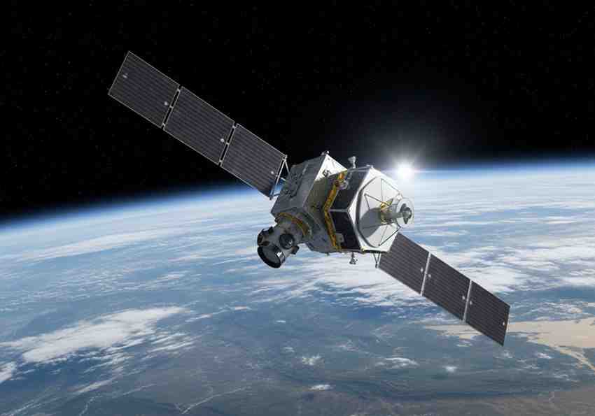
On 3 May 2026, Mission Drishti, the first OptoSAR satellite in the world, has been launched by GalaxEye.
The satellite weighing 190-kg took off on a Falcon 9 at Vandenberg Space Force Base.
It is the biggest privately developed Earth observation satellite of India. It is a significant leap in the development of space potential in India.
What is Special about Mission Drishti?
Mission Drishti involves a new technology which is known as OptoSAR . This system is a combination of two types of sensors:
- Electro-Optical (EO) sensors
- Synthetic Aperture Radar (SAR).
EO sensors take pictures in visible and infrared light. SAR involves microwave signals which are used to take images.
Together, they provide:
- Day/night imaging.
- All-weather observation
- High accuracy data
The combination of these two factors renders the satellite very sophisticated.
Understanding OptoSAR Technology
The OptoSAR is a combination imaging system.
EO Sensors:
- Capture high-resolution images
- Prefer working when the weather is clear.
- Give natural colour and details.
SAR Sensors:
- Toil in the clouds and rain.
- Operate in darkness
- Give structural and surface information.
Mission Drishti eliminates restrictions of individual systems by combining both.
Contribution in Earth Observation.
Mission Drishti is a satellite used to monitor the earth . These satellites are watched over the planet by the satellites.
They collect data on:
- Land and agriculture
- Water bodies
- Weather patterns
- Urban infrastructure
This information is utilized in the planning and decision making.
Important Mission Drishti Applications.
Mission Drishti is used both by civilians and defence.
Major applications include:
Agriculture: Crop tracking and estimation of yield.
Disaster management: Tracking of flood and cyclone.
Maritime Surveillance: Tracking of ships and coastal security.
Urban planning: Infrastructure development.
Defence: Strategic surveillance
This renders it a dual use satellite.
Month: Current Affairs - May 04, 2026
Category: Space Technology and Applications